Proving Value on their First Mapping Mission: How Redlands Fire Department Enhanced Emergency Response with Nova’s Drone Mapping Software
During a wildfire, every second counts. Having the right tools makes all the difference. For the Redlands Fire Department in Southern California, Nova’s drone mapping software wasn’t just a tool—it changed the game for their wildland fire and emergency response efforts.
“On its first fire mapping mission for the Redlands Fire Department, Nova has taken our drone program from concept to reality. I can’t wait to use this tool again.”
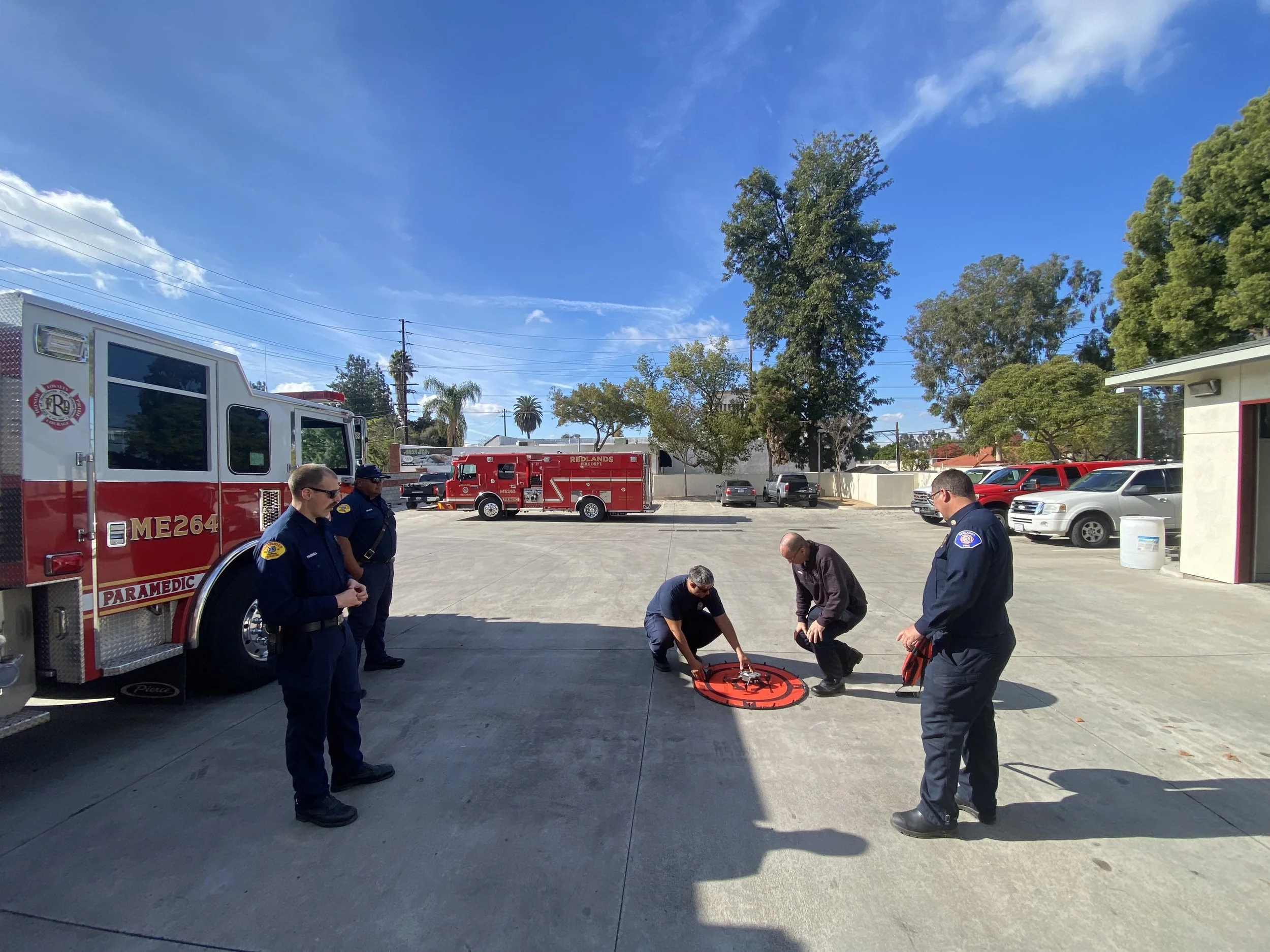
Serving a city of 75,000 residents, Redlands Fire Department staffs a crew of 18 firefighters per shift across four stations. In 2024, Chief Bristol and the Redlands FD embarked on a mission to enhance their wildfire management capability by integrating drones into their operations. However, adopting drone technology is only half the battle; the team needed a solution to turn their data into actionable deliverables and insights. New to using Unmanned Aerial Systems (UAS) and the pressure to perform under high-stakes conditions meant the team also needed an intuitive, reliable, and robust solution. That’s where Nova delivered.
A Challenge Grounded in Emergency Response Reality
The Redlands Fire Department had a bold vision: transform their new drone program into a powerhouse for real-world operations. However, like all newcomers to the unmanned aerial systems (UAS) space, they faced significant hurdles. They needed drone mapping software that could be quickly implemented and effectively used, even by those with minimal technical experience.
Their first real test arrived during the Abbey Fire, a 60-acre wildfire spread over challenging terrain and complicated by airspace restrictions near a municipal airport. This high-pressure scenario required a solution that could deliver fast, accurate situational awareness to guide the department’s emergency response.
Hotspot
Drone Mapping Software in Action
The department turned to Nova, integrating it with their DJI M3T to create a powerful, user-friendly mapping solution. Even as first-time users, the team found Nova’s capabilities transformative.
With the support of Nova’s remote team, Battalion Chief Nathan Bristol successfully:
mapped the fire’s hotspots
navigated airspace restrictions
delivered infrared (IR) mapping products to firefighters, and
coordinated with federal authorities to access controlled airspace.
Nova’s drone mapping software delivered real-time orthomosaics and infrared heat maps, enabling responders to pinpoint hotspots with unprecedented accuracy. This technology became what Chief Bristol called a "force multiplier," allowing limited resources to be deployed with maximum impact during this critical wildland fire management effort.
To tailor Nova to their wildland fire management needs, the Redlands Fire Department utilized key add-ons, including Hotspots, Orthomosaics, and Fire Perimeter.

Real Results: Revolutionizing Emergency Response
During the Abbey Fire, Nova wasn’t just a tool—it was a critical part of the team’s wildland fire management strategy. With Nova-generated IR heat maps that were PDF Avenza compatible, the department accurately identified, targeted and extinguished every hotspot, improving the efficiency and safety of their crew. These results gave Chief Bristol the confidence to rely on the technology in high-pressure scenarios.
By the end of the four-day operation, the team had refined their drone mapping skills, providing regular, actionable updates to leadership. Chief Bristol reflected, “On its first fire mapping mission for the Redlands Fire Department, Nova has taken our drone program from concept to reality. I can't wait to use this tool again.”
Building the Future of Wildfire Management and Emergency Response
The experience of the Redlands Fire Department underscores the profound impact that drone mapping software like Nova can have on emergency response and wildfire management operations. What began as a relatively new drone program quickly evolved into a vital operational asset. Nova’s intuitive interface and cutting-edge capabilities have empowered departments of all size to leverage advanced technology to tackle complex emergencies.
Empowering Heroes on the Front Lines
At Nova, we believe in enabling first responders to do their best work. The story of the Redlands Fire Department showcases how the right drone mapping software can bridge the gap between ambition and action, turning innovative ideas into life-saving realities.
Ready to see how Nova’s drone mapping software and geospatial features can transform your wildfire management and emergency response efforts? Contact us today to learn more about our solutions and how we can help your team take the next step.