Pricing
Included in all plans
Create Orthomosaics
Generate PDF Maps
Create Panoramas
Add Video Layers
Unlimited Workspace Creation
Collaborate and Share
Enterprise
Build a custom solution for your organization, including dedicated onboarding, hands-on training, and live support.
Add-ons
Priced in USD
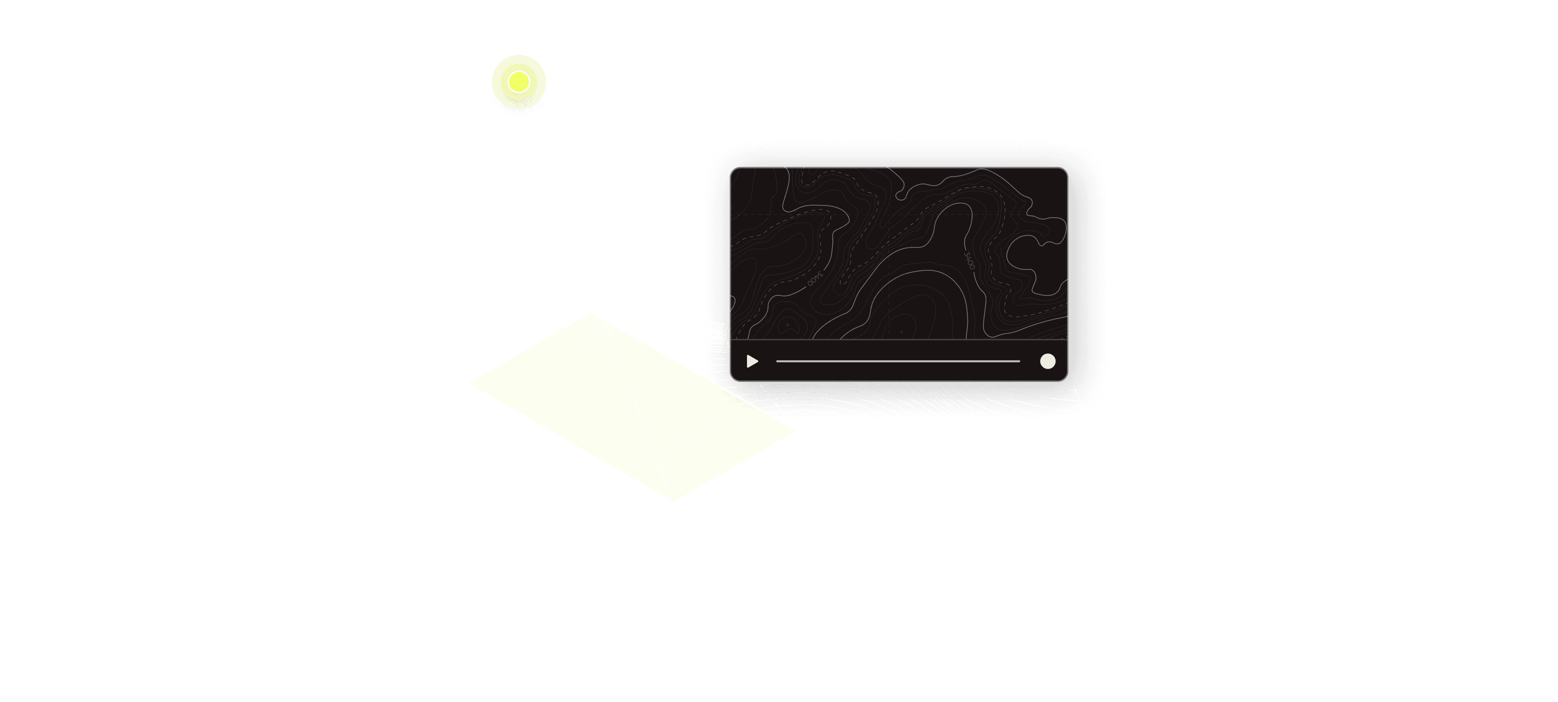
Live Stream
Instant Live Video Feed
Live stream your drone feed
Instantly share with preset email lists & shareable links
Real-time telemetry data
Geo-reference flight view
Automatic video recording and playback
$100/month
billed annually

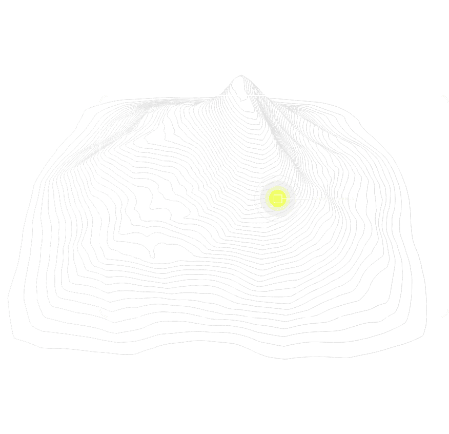
Hotspots
Automatically identifies and locates all of the heat on your landscape.
AI-powered hotspot detection
Complete geo-referenced output
Visualize heat in 2D and 3D layers
Compatible with any IR sensor and drone
$210/month
billed annually
Colorfinder
Your advanced second set of eyes, don’t miss a detail.
Supports images and videos
Search for color anomalies
Isolate areas of interest
Accurate geospatial location
No upload required
$20/month
billed annually