Best Practices for Building a High Performing Drone Program for Emergency Response
Drones have redefined the way we approach emergency response, wildfire management, and search and rescue. They provide critical aerial insights, empowering teams to make faster, smarter, and safer decisions in real-time. If you’re leading a UAS program and are ready to build or elevate a drone program for your department, you’re in the right place. This guide lays out best practices to help you choose the right equipment and create a drone program that’s as unique and capable as your team.

Why Build a Drone Program for Emergency Response?
Drones bring unmatched advantages in emergency situations, including:
Enhanced Situational Awareness: Real-time aerial views give your team the clarity they need to assess danger to then coordinate resources with speed and precision.
Rapid Deployment: Speed matters. Get eyes in the sky in a fraction of the time compared to traditional aerial solutions.
Increased Safety: Keep your team out of harm's way by scoping out hazardous environments from a safe distance.
Data-Driven Decisions: Capture high-quality imagery and data that fuel confident, informed decisions, both during and after events.
Step 1: Define the Purpose and Objectives of Your Drone Program
First things first: what do you want to achieve with your drone program? Each department has its own needs and goals, and it’s crucial to align your program to your mission:
Fire Departments: Stay ahead of wildfire spread, map hotspots, and assess structural fires.
Search and Rescue: Cover vast areas with speed, using color anomalies to pinpoint missing persons.
Public Safety: Assess damage, manage resources, and protect communities.
Emergency Management: Streamline your response during large-scale incidents, making every move count.
Resource Management: Monitor and manage land and resources more efficiently with clear aerial insights.
By defining your objectives early on, you'll have a solid foundation for selecting the right drones and software that match your team's needs and ambition.

Step 2: Choose the Right Drones for Your Operations
Choosing the right drone isn’t just about specs—it’s about choosing a partner that will stand by you through thick and thin. Here’s what to focus on:
Flight Time: Go for drones with extended battery life, so you can cover more ground with fewer interruptions.
Payload Capacity: Make sure the drone can handle the gear that makes your operations effective, like sensors or high-resolution cameras.
Durability: Pick drones built tough enough to endure unpredictable weather and rough environments.
Sensor Compatibility: Thermal imaging, high-resolution cameras—ensure your drone supports the tech that gives you the data you need.

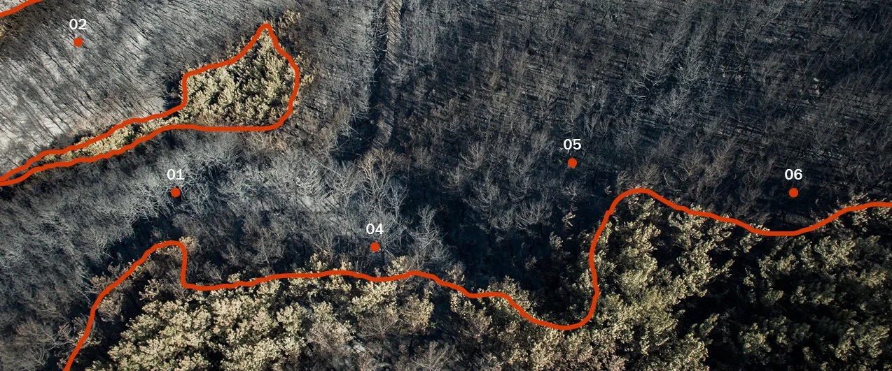
Step 3: Harness the Power of Drone Mapping Software
Hardware is only half the equation. To truly unlock your program’s potential, you need the right software to turn your data into actionable insights.
When choosing drone mapping software, look for solutions that offer real-time mapping, seamless integration with your existing workflows, and data accuracy. Tools that enable instant collaboration, even in remote locations, set your team up to dominate the skies.
Nova is a game-changer for emergency response drone operations. Here’s why:
Real-Time Mapping: Create detailed, actionable maps on the fly, so you can act faster.
Seamless Integration: Nova is compatible with all GIS-based platforms, making deployment effortless.
Data Accuracy: With Nova, your team gets precise, reliable data that’s critical for making the right decisions, no matter the situation. AI-powered heat detection? Only with Nova.
Collaboration Tools: Share maps and insights with your team instantly, even in remote locations.
Your Trusted Partner in the Field: We’re trusted by fire departments and emergency response agencies across the U.S., with teams nationwide using our proven solutions with confidence. Don’t take our word for it, read about our clients Ventura County Fire Department and Redlands Fire Department and how they’ve enhanced their emergency response efforts.
Lead the Charge in Emergency Response
Building a high-performing drone program takes vision, the right tech, and a commitment to continuous improvement. By following these best practices and integrating cutting-edge mapping software, your department can lead the charge in emergency response innovation.
Want to see how the right software can elevate your drone program? Book a demo with our team or launch Nova now and try it free.