

Mapping 101: Your Cartography Crash Course
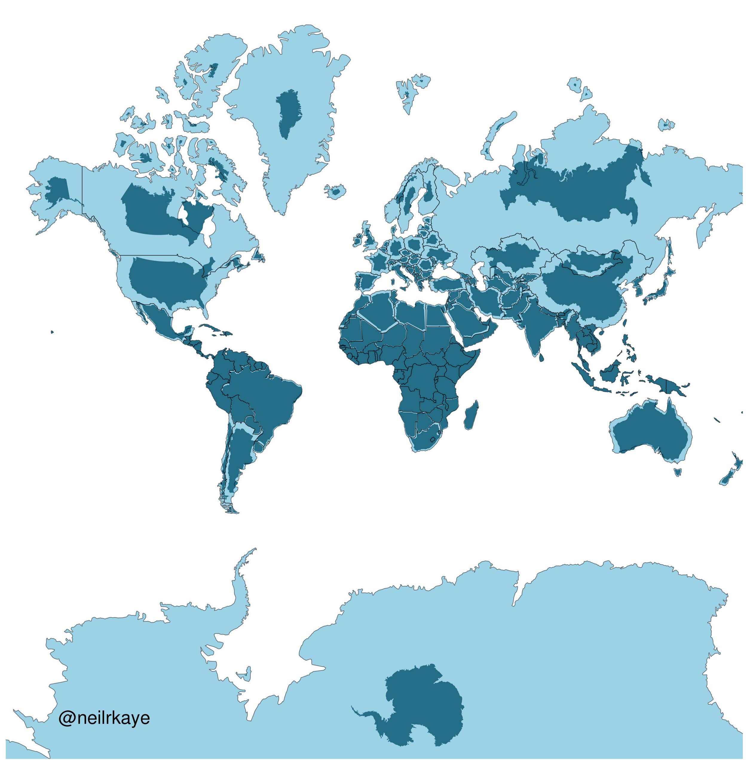
Welcome to Mapping 101, your cartography crash course. Maps are a beautiful balance between science and art, serving as both tools for navigation and mediums for storytelling. They play a pivotal role in our understanding of the world, providing insights into everything from geographic features to social dynamics. While the types of maps and their applications are nearly endless, most maps can be generalized as either a reference map or a thematic map.

Multispectral Imaging: An Overview
Ever wondered about the vibrant rainbow-colored imagery on your weather forecast? That's the magic of multispectral imaging! Dive into the fascinating science behind it, explore its diverse applications, and uncover the different classifications of this incredible technology.

Orthomosaics Explained
If you’re new to GIS or drones you may not be totally familiar with the term ‘orthomosaic’ just yet. But as you dive deeper into this world, it is unlikely that you will be able to avoid it. You are on the fast track to learning what orthomosaics (aka orthos) are and how beneficial they can be.

